The National Weather Service in Omaha has cancelled Flood Warnings previously in effect for the West Nishnabotna River At Hancock, affecting Pottawattamie County.
* At 1:00 AM Tuesday the stage was 13.4 feet…or 0.6 feet below flood stage.
* Flood stage is 14.0 feet.
* Fell below flood stage at 10:24 PM Monday.
* Forecast…The river will continue to fall to 6.6 feet by tomorrow morning.
1106 AM CST MON DEC 14 2015
THE NATIONAL WEATHER SERVICE IN DES MOINES HAS ISSUED A
* FLOOD WARNING FOR…
CRAWFORD COUNTY IN WEST CENTRAL IOWA…
CALHOUN COUNTY IN WEST CENTRAL IOWA…
CARROLL COUNTY IN WEST CENTRAL IOWA…
SAC COUNTY IN WEST CENTRAL IOWA…
* UNTIL 1045 AM CST TUESDAY
* AT 1049 AM CST…DOPPLER RADAR AND AUTOMATED RAIN GAUGES INDICATED THAT HEAVY RAIN HAS FALLEN OVER THE AREA. RECENT REPORTS INDICATE THAT STORM TOTAL RAINFALL AMOUNTS OF THREE TO FIVE INCHES HAVE ALREADY FALLEN…WITH ADDITIONAL LIGHT PRECIPITATION POSSIBLE THROUGH AFTERNOON.
* SOME LOCATIONS THAT MIGHT EXPERIENCE FLOODING INCLUDE…
CARROLL…DENISON…SAC CITY…ROCKWELL CITY…LAKE CITY…
MANSON…MANNING…COON RAPIDS…GLIDDEN…LAKE VIEW…ODEBOLT…
SOUTH TWIN LAKE…NORTH TWIN LAKE…BLACK HAWK LAKE…SCHLESWIG…
WALL LAKE…MANILLA…SCHALLER…POMEROY AND EARLY.
FLOODING IS OCCURRING ON THE NORTH RACCOON RIVER FROM SAC CITY TO LANESBORO. EMERGENCY MANAGEMENT HAS ALSO REPORTED THAT EAST OTTER CREEK IS OUT OF ITS BANKS NEAR KIRON.
PRECAUTIONARY/PREPAREDNESS ACTIONS…
EXCESSIVE RUNOFF FROM HEAVY RAINFALL WILL CAUSE FLOODING OF SMALL CREEKS AND STREAMS…AS WELL AS FARM AND COUNTRY ROADS. DO NOT ATTEMPT TO TRAVEL ACROSS FLOODED ROADS. FIND ALTERNATE ROUTES.
DO NOT DRIVE YOUR VEHICLE INTO AREAS WHERE THE WATER COVERS THE
ROADWAY. THE WATER DEPTH MAY BE TOO GREAT TO ALLOW YOUR CAR TO CROSS SAFELY. MOVE TO HIGHER GROUND.
MONONA-HARRISON-SHELBY-POTTAWATTAMIE-MILLS-MONTGOMERY-FREMONT-PAGE COUNTIES..
853 AM CST MON DEC 14 2015
…SLIPPERY ROADS ARE POSSIBLE THIS MORNING…
A MIX OF RAIN AND SNOW WILL BE POSSIBLE THIS MORNING…BUT SHOULD
BE ENDING ACROSS THE AREA BY NOON. TEMPERATURES WILL REMAIN IN
THE MID 30S…SO SOME MELTING OF SNOW WILL OCCUR…BUT AN INCH OR
TWO OF SLUSHY ACCUMULATION CAN BE EXPECTED…ESPECIALLY ACROSS
WESTERN IOWA.
ALLOW EXTRA TIME TO REACH YOUR MORNING DESTINATION. USE CAUTION WHILE DRIVING DUE TO THE POTENTIAL FOR SLIPPERY OR ICY ROADS…AND REDUCED VISIBILITIES IN SNOW OR FROM ROAD SPRAY.
817 AM CST MON DEC 14 2015
The National Weather Service in Omaha has issued a
* Flood Warning for
The Nodaway River At Clarinda.
* until Tuesday morning…or until the warning is cancelled.
* At 8:00 AM Monday the stage was 23.7 feet…or 0.7 feet above
flood stage.
* Flood stage is 23.0 feet.
* Minor flooding is occurring and Minor flooding is forecast.
* Impact…at 24.0 feet…Additional lowlands, some farmlands, and
county roads flood.
Today: Rain, possibly mixed with snow at times thru early this afternoon. High near 40. NW @ 20-40mph, diminishing late. New snow accumulation of less than a half inch possible.
Tonight: Cloudy to P/Cldy. Low around 25. NW-E @ 5 to 10mph.
Tomorrow: Mostly cloudy, with a high near 44. SE @ 10-20.
Tom. Night: A slight chance of rain or snow. Low 35. Little or no snow accumulation expected.
Wednesday: Mostly cloudy, with flurries possible. High 34.
Thursday: Partly sunny, with a high near 32.
Sunday’s High in Atlantic was 46 Our 24-hour low ending today at 7-a.m. was 31. Rainfall and melted snow over the past 24-hours amounted to 2.47-inches. Snowfall from 5-am to 7-am was 1.2 inches. Total precip. for the system (Since late Saturday night thru 7-a.m. today) was 4.23″)
Last year on this date we reached 58 for a High and 49 was the low. The All-time Record High in Atlantic on this date was 59 in 1975, while the Record Low was -19 in 1901 & 1972. Sunrise is at 7:38-a.m.. Sunset is 4:50-p.m.
MONONA-HARRISON-SHELBY-POTTAWATTAMIE-MILLS-MONTGOMERY-FREMONT-PAGE COUNTIES…-
603 AM CST MON DEC 14 2015
…SLIPPERY ROADS ARE POSSIBLE DURING THE MORNING COMMUTE…
A MIX OF RAIN AND SNOW WILL CHANGE TO ALL SNOW AT TIMES THROUGH ABOUT 9 OR 10 AM. BRIEF BOUTS OF MODERATE SNOW WITH BIG FLAKES COULD PILE UP TO AN INCH ON SOME ROADWAYS BEFORE MELTING. TEMPERATURES WILL REMAIN MOSTLY ABOVE FREEZING THIS MORNING…SO SIGNIFICANT SNOW ACCUMULATION IS NOT EXPECTED.
ALLOW EXTRA TIME TO REACH YOUR MORNING DESTINATION. USE CAUTION WHILE DRIVING DUE TO THE POTENTIAL FOR SLIPPERY ROADS…AND REDUCED VISIBILITIES IN SNOW OR FROM ROAD SPRAY.
Early This Morning: Rain. North wind 5 to 10 mph. Chance of rain near 100 percent.
Today: Breezy. Rain and light snow in the morning…then a slight chance of light rain in the afternoon. Snow accumulation up to 1 inch. High around 40. Northwest wind 15 to 25 mph. Chance of precipitation near 100 percent.
Tonight: Mostly cloudy. Low in the lower 30s. Northwest wind 5 to 10 mph shifting to the northeast after midnight.
Tuesday: Mostly cloudy. High in the lower 40s. East wind 5 to 15 mph with gusts to around 25 mph.
Tuesday Night: Mostly cloudy. A chance of light rain through midnight…then a slight chance of light rain and light snow after midnight. Low in the mid 30s. Southeast wind 10 to 15 mph shifting to the south after midnight. Chance of precipitation 40 percent.
Wednesday: Mostly cloudy. Breezy. High in the upper 30s. West wind 15 to 20 mph with gusts to around 30 mph.
Wednesday Night: Mostly cloudy. Colder. Low in the mid 20s.
Thursday: Partly sunny. High in the lower 30s.
(Update) 327 AM CST MON DEC 14 2015 …
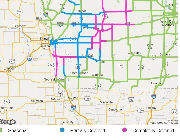
The Flood Warning continues for the following rivers in southwest Iowa:
Do not drive cars through areas where water covers the road. The water depth may be too great to allow your vehicle to pass safely. Turn around…don`t drown!