
OMAHA, Neb. (AP) — The risk of flooding generally remains low across most of Nebraska and Iowa because the snow across both states is expected to melt gradually in the coming days. National Weather Service meteorologist Allan Curtis said this week’s forecast for temperatures somewhat above freezing during the days and below freezing at night with no significant new precipitation should allow the snow to melt gradually without causing too many problems.
But the amount of ice on some rivers remains a concern because chunks of ice can create flooding as the it melts by creating ice jams that block the channel of the river. So officials will be watching how the ice melts closely.
(Radio Iowa) – Up to nine inches of snow fell on parts of western Iowa on Sunday, but there will be plenty of melting today (Monday) as temperatures climb into the upper 30s and lower 40s. It’s been a month of bitter cold with Sioux City breaking records dating from the 1930s, with two days at 28-degrees below zero. Meteorologist Brooke Hagenhoff, at the National Weather Service, says more extreme cold is unlikely.
Last week’s negative temperatures came from what’s called a trough, a dip in the jet stream that allowed arctic air from Canada to move into the central United States and as far south as Texas.
The forecast calls for high temperatures all week to remain above freezing, though tomorrow (Tuesday) may be the warmest day of the week. The Weather Service warns any snow that melts on roads today will likely refreeze quickly tonight once the sun goes down, producing icy spots and potentially hazardous travel.
Here are some of the area snowfall reports as compiled by the National Weather Service:
(Radio Iowa) There was nothing sweet about the weather on Valentine’s Day as the brutal cold continued its grip on the state. State Climatologist Justin Glisan says many areas saw records. “Over 50 stations broke their daily minimum high temperature on Valentine’s day. So that is the coldest daytime high they had seen for the 14th. Anywhere ranging from zero degrees in Oskaloosa to negative 16 degrees in Rockwell City,” Glisan says.
Halfway through the month, we are averaging double digits below the normal February average temperature of 24 degrees. “We’re currently sitting at six degrees,” according to Glisan, “so 18 degrees below the monthly average. The caveat being there is that we will rebound ass we add more days to the month, and as we do warm-up.” Glisan says a disturbance in the polar vortex is allowing the cold air to flow into Iowa and many other states. Record snowfall in many areas is also contributing to the low temperatures.
“Snowpack acts to reflect the light up, that solar radiation up, that is coming in from the sun — and that does tamp down these daytime high temperatures. When you don’t get those temperatures up during the day, you are only on the downhill slope at night when the sun goes down. So yes it does impact the temperature that we do see,” Glisan says. He says you can see the impact in trees.
He says if you look at large trees you will see a tree ring from where the tree is absorbing solar radiation short wave in and emitting long-range radiation, or heat out. “And you will start to see those rings expand as you get into, hopefully sunny days and warmer days, ” he says. Glisan sees the impact in other ways as well. “Some of the remote sensing tools, the satellites that we are using looking at clouds — we are actually picking up the snowpack at the surface since it is so cold,” he explains. “You can get snowpack down into negative temperatures as well.” Glisan says we saw the same phenomenon back in January of 2019.
“That was over a four to five day period where we had temperatures actually colder than what we are seeing now — but just over two or three days in the negative 20s and the negative 30s. We had wind chill values up in northern Iowa in the negative 50s to the negative 60s. That’s extremely cold air,” Glisan says. The forecast is calling for things to slowly warm up through this week and moving toward the 20s for highs by the weekend.
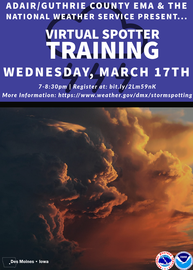
The Adair & Guthrie County Emergency Management Agency and National Weather Service in Des Moines will host a Virtual Storm Spotter Training Session on March 17, 2021 at 7:00 PM via GoToWebinar. This training session is open to the all county responders and the public. The virtual training session is free. Adair/Guthrie County Emergency Management Coordinator Bob Kempf says the session will acquaint attendees with basic information on the formation of severe weather storms and how they function. What to report, as well as how and where to communicate this information will be covered. After the training, you may register as a severe storm spotter with the National Weather Service. Real-time ground truth from storm spotters is essential to rounding out the other information provided from radar, satellite, and from automated weather sensors.
 According to Chad Hahn, Warning Coordination Meteorologist with the National Weather Service in Des Moines, “the 2021 spotter training will once again be 100% virtual. Turnout & reception was positive during the 2020 spotter training season & we would expect the same for this year.” Each session will again run 60-75 minutes in length.
Kempf says “By being aware of the possibility of severe weather or tornados in your area, you can react to rapidly changing weather conditions and improve you, your family and your community’s safety in such an event. As a trained spotter serving your area and providing the National Weather Service with severe storm reports, meteorologists can correlate your real‑time information of storm activity with the data they are receiving by radar to better warn your downstream neighbors of the impending severe weather dangers.”
Why does National Weather Service need severe weather reports from trained weather spotters? The Doppler Radar provides great detail to National Weather Service warning meteorologists, but it is unable to tell exactly what is happening on the ground. Trained weather spotters fill in this gap of information.
Registration is required to attend and can be completed at: http://bit.ly/2Lm59nK
After registering, you will receive a confirmation email containing information about joining the webinar.
Weather during the month of January 2021, here in Atlantic, was once again slightly warmer, and much wetter than than normal. Data compiled at the KJAN studios (The OFFICIAL National Weather Service reporting/record keeping site for Atlantic), show the Average High for the month was 33 (33.4), which was a four-degrees above normal.
Our warmest day was January 20th, when the thermometer reached 48. The Average Low was 16 degrees (16.2), which is nearly seven-degrees above normal. Our coldest morning was Jan. 27, at -8. Rain and melted snowfall for the month amounted to 2.04 inches, which was 1.2 inches above normal. Snowfall amounted to a whopping 18.2 inches.
During the month of February, in Atlantic, the Average High is 35.4-degrees, the Average Low is 15.2, and rain/melted snow typically amounts to .96-inches.
(Radio Iowa) Travel is still not recommended on many roads across the southern two-thirds of Iowa following the latest winter blast. Some areas of central and southwest Iowa report very heavy snow, according to meteorologist Chad Hahn, at the National Weather Service. “Generally speaking, across the state, ten to 14 inches is going to capture most areas,” Hahn says. “As you go north, less, but certainly from Ames, the Des Moines metro and south, ten to 14 would capture most of those.”
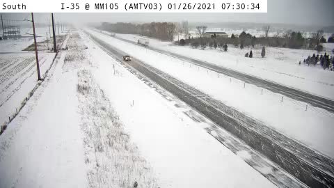
I 35 Mile Marker 105 near Huxley
Some flakes are still flying in eastern Iowa but this round of snow is almost over, he says. The trouble is, strong winds are blowing snow and reducing visibility, in addition to causing drifts on roads minutes after plows pass. “The Department of Transportation and snow plows have been out there doing their best to keep everything open but certainly there are some problematic areas,” Hahn says. “We encourage folks to check with 511ia.org in order to get that information.”
We’re in the midst of what Hahn says is an “active” weather pattern, which means some Iowans will have to shovel snow again tomorrow. “Tonight, we expect another little shot of moisture coming in, nothing at all compared to what we just experienced,” Hahn says. “Some areas, especially across the south part of the state, upwards of an inch of snow late tonight and early on Wednesday.”
After that front passes, it should be clear skies for a few days but Hahn says there’s another chance of winter storms looming this weekend.
OMAHA, Neb. (AP) — A major winter storm dropped more than a foot of snow on parts of Nebraska and Iowa, disrupting traffic and shuttering some schools, while blanketing other parts of the middle of the country. There were early closures of several coronavirus testing sites on Monday in Nebraska and Iowa, and both states saw 12 or 13 inches of snow in places by Tuesday morning.
At least 4 inches of snow was expected into Tuesday across most of an area stretching from central Kansas northeast to Chicago and southern Michigan. Elsewhere in the U.S, a storm buried northern Arizona in snow on Monday while sending flurries to the outskirts of Las Vegas and Phoenix.
**WINTER STORM WARNING in effect until Noon today**Winter Weather Advisory until 9-a.m. for the west/southwest counties**
Today: Light snow/blowing snow (1” or less additional expected). N @ 15-25. High 21.
Tonight: P/Cldy to Cldy. Low 5. N @ 5-10.
Tomorrow: Mo. Cloudy w/flurries. High 20. N @ 10.
Thursday: P/Cldy. High 28.
Friday: Partly cloudy. High near 34.
Monday’s High in Atlantic was 25. Our Low this morning, 17. Snowfall at KJAN (through 5:15-a.m. averaged 9.5 inches). Last year on this date the High in Atlantic was 32 and Low 24. The Record High on this date was 67 in 2002. The Record Low was -24, in 1963.


