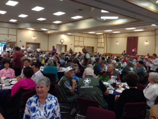
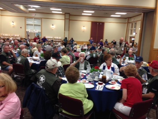
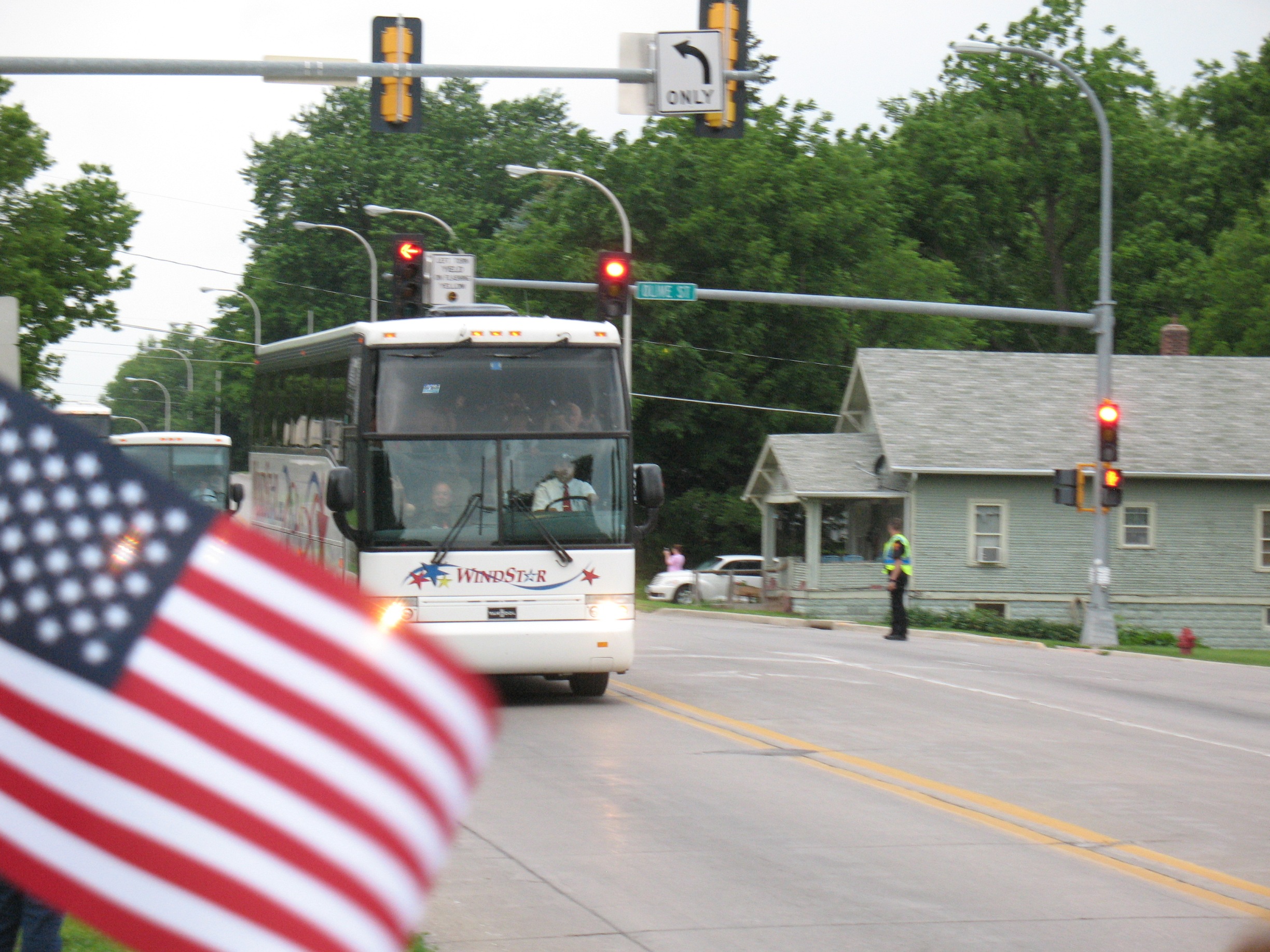
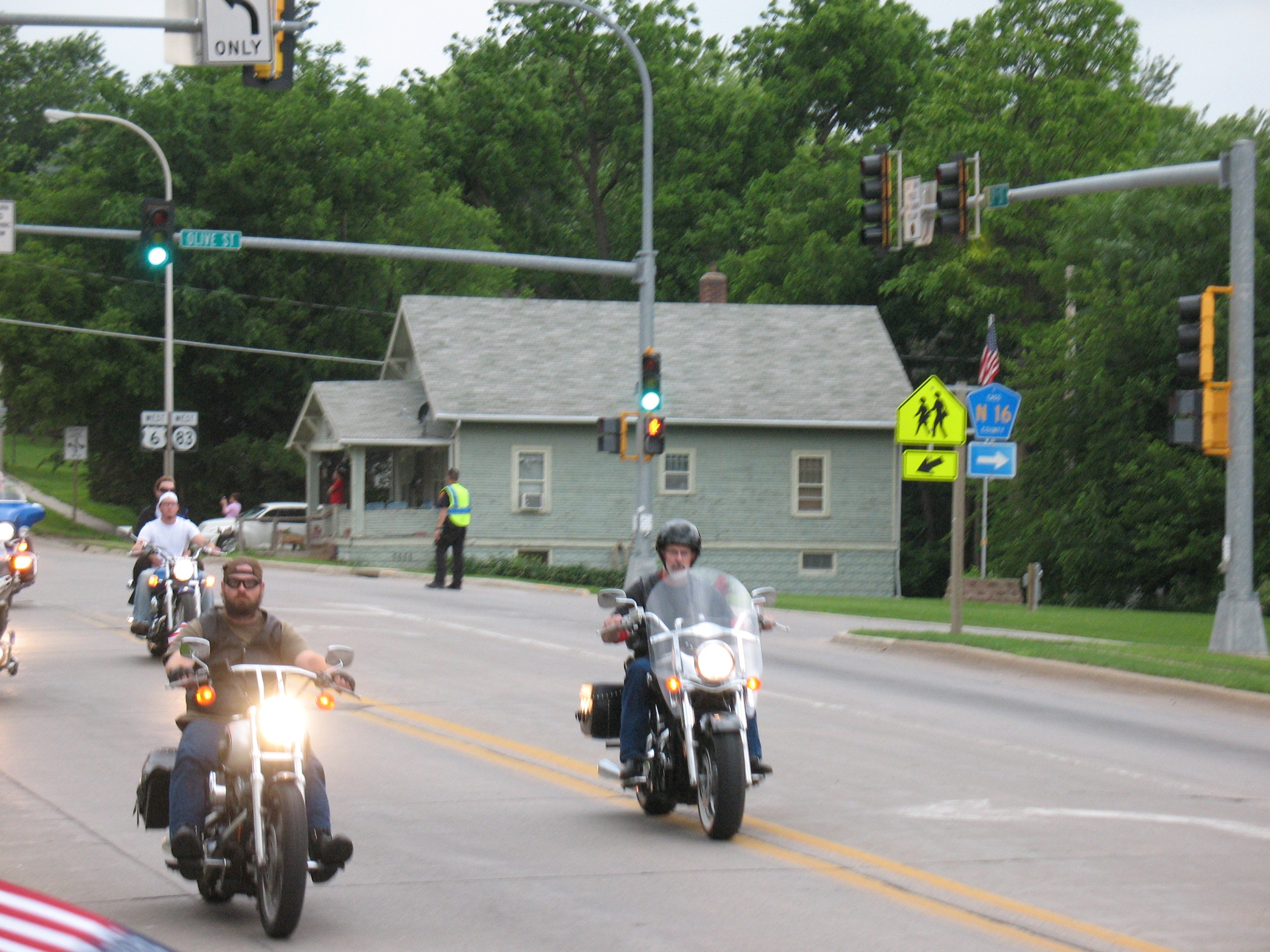
Three bus loads of veterans left Atlantic Monday evening after being served a meal at the Cass County Community Center, a roll call, and group picture. The 150 veterans and a dozen guardians were set to travel from Des Moines to Washington, D-C for a whirlwind tour of the nation’s war memorials. The trip – which comes at no cost to those who participate – would not have been possible had it not been for the generous contribution of two childhood friends and successful Ames businessmen, who graduated in 1976 from the Atlantic High School.
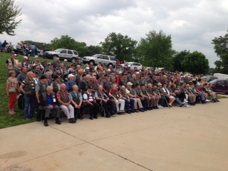
The Honor Flight veterans pose for a group picture before leaving Atlantic Monday evening. (Jim Field, photo)
One of those men is Jeff Becker, who was born and raised in Atlantic. Together with Roger Underwood, they co-founded Becker Underwood, the world’s leading supplier of non-pesticide specialty chemical and biological products to well-defined markets.
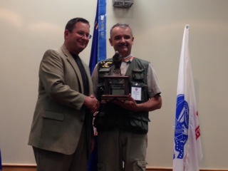
Roger Underwood (left) shakes the hand of Planning Committee member and organizer Steve Livengood.
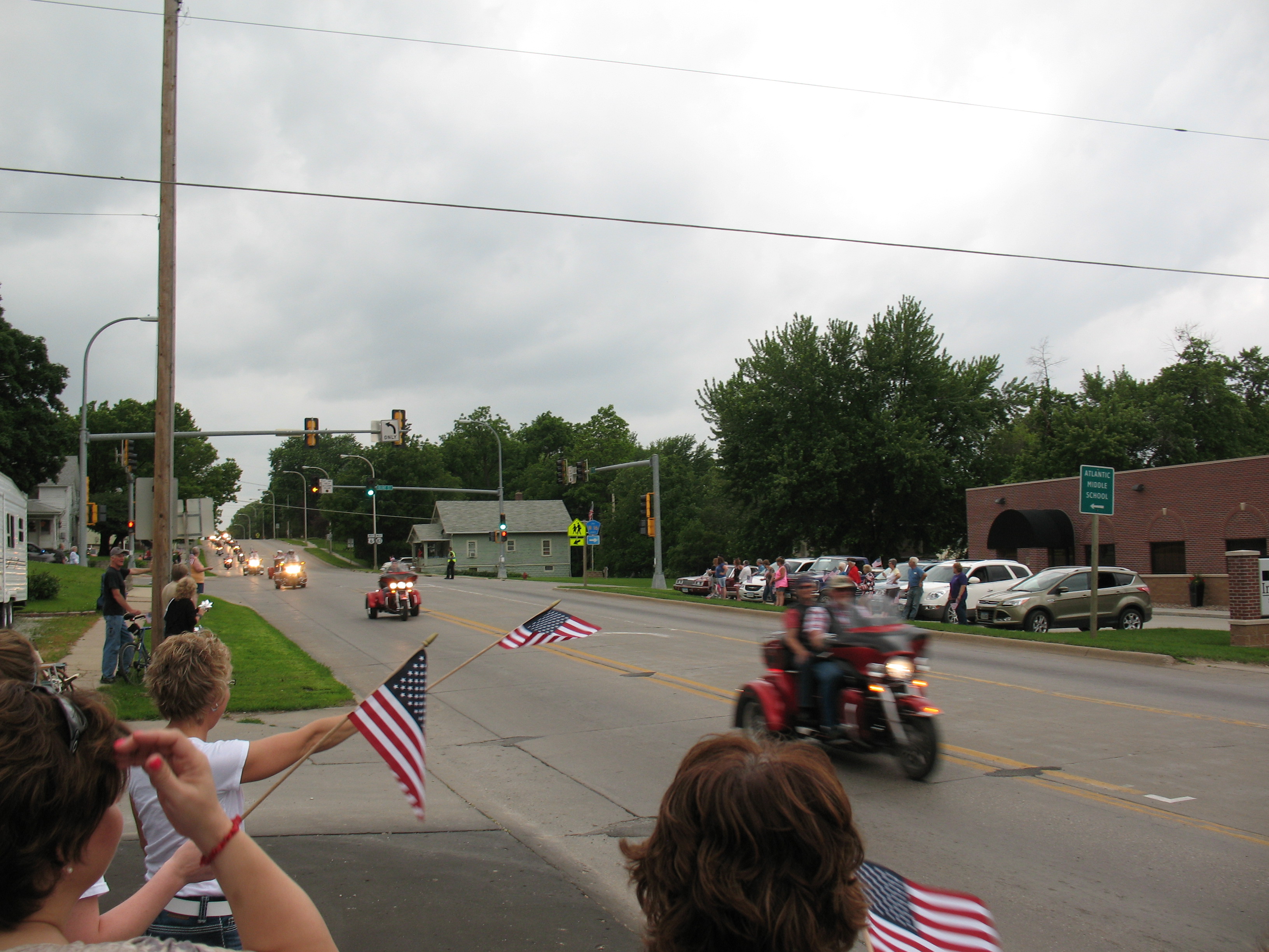
Underwood said Monday, that he was honored and filled with pride to see the throngs of supporters who came to show their patriotic spirit and offer their gratitude for those who have served. Underwood explained how he and Becker came up with the idea for the Honor Flight, which is different from the “Freedom Flight.” He said the Story County Freedom Flight was raising money for its second flight. The men realized Atlantic didn’t have such a flight. They pooled their money and organized the flight with the help of a planning committee comprised of 38 people.
Underwood said the success of the event far exceeded any expectations he could have had. He said he and Jeff wanted to do something good for the community that was so good to them growing up. Underwood said he knows people want to thank him and Jeff and their families for what they’ve done to make this trip possible, but he humbly said “No, we came here tonight to say ‘Thank you’ to Atlantic,” and everyone who contributed in some way to making the trip a success.