Strong to severe storms possible tonight into early Saturday
April 29th, 2022 by Ric Hanson
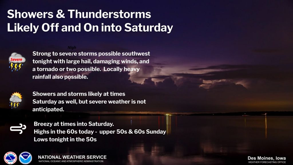
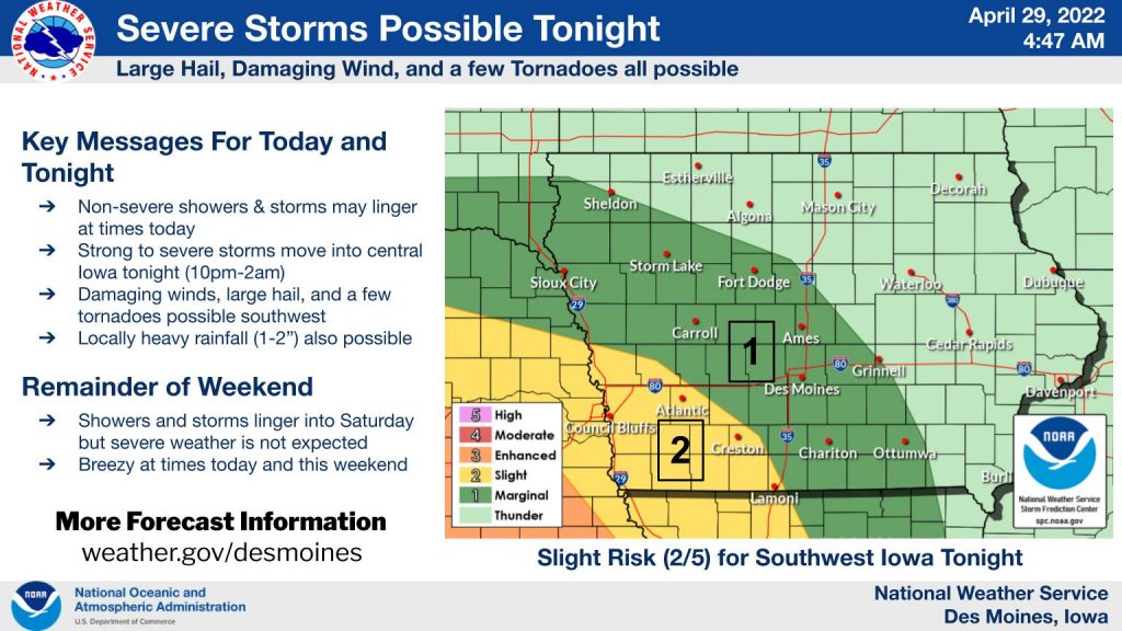
(NWS/Des Moines) – After scattered non-severe showers and storms today, strong to severe thunderstorms are expected to cross the Missouri River into western Iowa around 9 or 10pm this evening and maintain themselves before weakening and/or exiting central Iowa during the early morning hours Saturday. Large hail (1-1.5″), damaging wind (60-70 mph), and a few tornadoes will be possible southwest.
Lingering shower and storm chances Saturday, but severe weather is not expected. Breezy at times into Saturday as well. Highs should be in the 60s today, lows in the 50s tonight, and highs upper 50s and 60s Saturday. 


